
Company says move amid US-Israel war on Iran comes after a request from the US government

The Iran war picture blackout | Digital Dilemma
By AFP and Reuters
Published On 5 Apr 2026
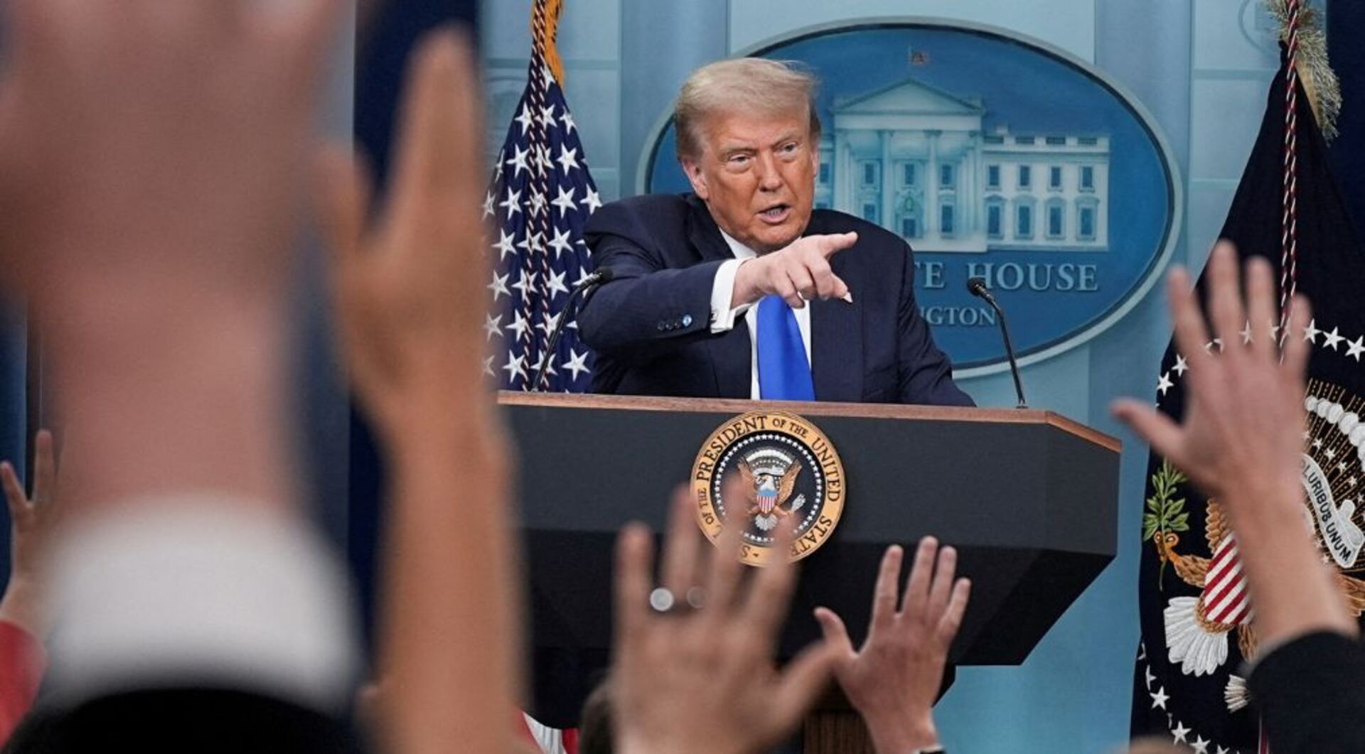
Satellite imaging company Planet Labs has said it will indefinitely withhold visuals of Iran and the region of conflict in the Middle East to comply with a request from United States President Donald Trump’s administration.
The US company announced the decision in an email to customers on Saturday, with news agencies quoting it as saying the government had asked satellite imagery providers to impose an “indefinite withhold of imagery”.
The restriction expands upon a 14-day delay on imagery of the Middle East that Planet Labs implemented last month, which extended an initial 96-hour delay, a move the firm said was meant to prevent adversaries from using the imagery to attack the US and its allies.
Planet Labs said it will withhold imagery dating back to March 9 and that it expects the policy to remain in effect until the end of the war, which began on February 28 when the US and Israel launched aerial attacks against Iran. The conflict has since spread across the region, with Iran firing missile and drone barrages at Israel and US assets, as well as civilian infrastructure across the Gulf.

War spirals as information control tightens | The Listening Post

Israeli strikes target Iran’s Mahshahr petrochemical zone

US and Israeli Strikes Hit University and Hospital in Tehran
09:15

Death by hanging: Israel law sparks global alarm
15:25

Is Israel applying the Gaza playbook to Iran and Lebanon?
Planet Labs, which was founded in 2010 by former NASA scientists, said in its email to customers that it would switch to a “managed distribution of images” deemed not to pose a risk to safety.
Under a new system, Planet Labs will release imagery on a case-by-case basis for urgent, mission-critical requirements or in the public interest.
“These are extraordinary circumstances, and we are doing all we can to balance the needs of all our stakeholders,” the California-based company was quoted as saying.
Military uses of satellite technology include target identification, weapons guidance, missile tracking and communications. Some space specialists say Iran could be accessing commercial imagery, including pictures obtained via US adversaries. Satellite images also help journalists and academics studying hard-to-reach places.
US media divide deepens over Iran war narrative
Satellite imaging company Planet Labs has said it will indefinitely withhold visuals of Iran and the region of conflict in the Middle East to comply with a request from United States President Donald Trump’s administration.
The US company announced the decision in an email to customers on Saturday, with news agencies quoting it as saying the government had asked satellite imagery providers to impose an “indefinite withhold of imagery”.
The restriction expands upon a 14-day delay on imagery of the Middle East that Planet Labs implemented last month, which extended an initial 96-hour delay, a move the firm said was meant to prevent adversaries from using the imagery to attack the US and its allies.
Planet Labs said it will withhold imagery dating back to March 9 and that it expects the policy to remain in effect until the end of the war, which began on February 28 when the US and Israel launched aerial attacks against Iran. The conflict has since spread across the region, with Iran firing missile and drone barrages at Israel and US assets, as well as civilian infrastructure across the Gulf.
War spirals as information control tightens | The Listening Post
Israeli strikes target Iran’s Mahshahr petrochemical zone
US and Israeli Strikes Hit University and Hospital in Tehran
09:15
Death by hanging: Israel law sparks global alarm
15:25
Is Israel applying the Gaza playbook to Iran and Lebanon?
Planet Labs, which was founded in 2010 by former NASA scientists, said in its email to customers that it would switch to a “managed distribution of images” deemed not to pose a risk to safety.
Under a new system, Planet Labs will release imagery on a case-by-case basis for urgent, mission-critical requirements or in the public interest.
“These are extraordinary circumstances, and we are doing all we can to balance the needs of all our stakeholders,” the California-based company was quoted as saying.
Military uses of satellite technology include target identification, weapons guidance, missile tracking and communications. Some space specialists say Iran could be accessing commercial imagery, including pictures obtained via US adversaries. Satellite images also help journalists and academics studying hard-to-reach places.
US media divide deepens over Iran war narrative
***
Clown takut liao, covering up its own damages
Russia and China are the ones providing Iran with detailed satellite targeting data.
ReplyDeleteRussia told Witkoff they are not providing the intelligence to Iran.
And fuck the Putin asset just accepted that at face value.
No doubt in my mind that the wanks provide such intel to the shailoks (and definitely to the Iraqis during Saddam's days), thus it would only be fair that Russia and China do the same for Iran
DeleteIRGC family members granted asylum in US????
ReplyDeleteAsylum from what?
On April 3, 2026, @ICEgov officers in Los Angeles arrested Hamideh Soleimani Afshar and Sarinasadat Hosseiny, the niece and grandniece of Qasem Soleimani, the late head of the Quds Force of the Islamic Revolutionary Guard Corps who was killed by a drone strike ordered by President Trump in 2020.
Soleimani Afshar entered the United States in June 2015 on a tourist visa. In 2019, a judge granted her asylum. In 2021, she became a green card holder under the Biden Administration. In July 2025, she filed a naturalization application where she disclosed, she traveled to Iran at least four times since being issued a green card. Her trips to Iran illustrate her asylum claims were fraudulent.
Her daughter, Sarinasadat Hosseiny, entered the United States in July 2015 on a student visa. In 2019, a judge granted her asylum. In 2023, she became a green card holder under the Biden administration.
It is a privilege to be granted green card to live in the United States of America. If we have reason to believe a green card holder poses a threat to the U.S., the green card will be revoked.
https://x.com/dhsgov/status/2040532723354222690?s=46&t=8K6fzabO3g6uaj4KxwSSjg
Confirmed Report: The US fighter jet was not shot down by the Iranian defense system. It was shot down by a Turkish-made shoulder-fired anti-aircraft missile, which was transported to Iran about two weeks ago. You can check previous leaked reports about this MANPADS (man-portable air-defense system) missile that Turkey transported to Iran. Leaked report link: x.com/kurdistannews2…
ReplyDeletehttps://x.com/adi13/status/2040468846574743872?s=46&t=8K6fzabO3g6uaj4KxwSSjg
Thank You Isaac.
ReplyDeleteBREAKING: Israel was involved in the rescue operation of the American crew member from Iran and shared important intelligence with U.S. authorities, according to Fox News.
Forever united. 🇮🇱🤝🇺🇸
https://x.com/vividprowess/status/2040693087014445560?s=46&t=8K6fzabO3g6uaj4KxwSSjg
‼️ GOOD RIDDANCE:
ReplyDeleteThe U.S. has revoked the permanent residency of Fatemeh, daughter of senior Iranian regime figure Ali Larijani, and barred her from re-entering the country.
Reports indicate she was also expelled two months ago from Emory University, where she had been studying.
They chant “Death to America,” yet send their own children to study and live there. The hypocrisy is staggering.
https://x.com/mossadil/status/2040471498553438470?s=46&t=8K6fzabO3g6uaj4KxwSSjg
The World is in Uproar when Isaac introduced a Death Penalty Law for murderous terrorists, but When IRGC actually executed two young men without a fair trial…….crickets all round.
ReplyDeleteIran executed two men on Sunday over accusations that they tried to storm a military site and gain access to an armory during the January protests, according to Mizan, the judiciary’s news outlet.
iranintl.com/en/202604054160
https://x.com/iranintl_en/status/2040661586642178299?s=46&t=8K6fzabO3g6uaj4KxwSSjg
Sure Oscar Winners. Producers lining up to finance it.
ReplyDeleteBREAKING:
🇺🇸 This is the greatest Rescue operation in history of America.
48-HOUR RESCUE INSIDE IRAN
HOUR BY HOUR
APRIL 3
- F-15E Strike Eagle (Viper 21) shot down by Russian missile over southwestern Iran.
- Mach 2.8 intercept, proximity fuse detonation.
- Both crew eject successfully.
HOUR 0
- Pilot recovered within minutes by ground team.
- WSO lands alone, injured (broken ankle), deep in enemy territory.
HOURS 1-4
- WSO starts evasion using night and terrain.
- IRGC launches massive manhunt with drones and dogs.
HOURS 4-8
- Thousands of Iranian civilians join the search for bounties.
- U.S. jams Iranian radars and communications.
HOURS 8-12
- WSO climbs 7,000-ft ridge despite injury.
- U.S. strikes crater roads to block IRGC reinforcements.
HOURS 12-18
- WSO reaches ridge top, hides in rocky crevice.
- Makes first brief radio contact with friendly forces.
HOURS 18-24
- A-10 Warthog shot down by Chinese MANPADS.
- Pilot safely recovered by naval assets.
HOURS 24-30
- Two HH-60W rescue helicopters hit by ground fire during attempt.
- Crews wounded but return to base.
HOURS 30-36
- U.S. escalates with cruise missile strikes on IRGC air defenses.
- WSO survives near-miss drone strike, relocates under fire.
HOURS 36-42
- Nighttime full extraction launched.
- Special operations teams insert and engage IRGC in firefight.
HOURS 42-48
- WSO located, stabilized on site, and extracted under heavy fire.
APRIL 5 — EARLY HOURS
- WSO pulled out alive and conscious.
- Both F-15E crew members safe.
https://x.com/itswpceo/status/2040686889317884282?s=46&t=8K6fzabO3g6uaj4KxwSSjg
Wakakaka…
DeleteAt what costs?
Anyone counting?